I was looking for a way to present/visualize state level data on an Indian map. I was not able to get that from the Bing maps application for Excel.
I am sure there are paid applications that might provide this functionality. I think this is a very basic need and I decided to prepare a simple template that can help create geographic heat maps for India.
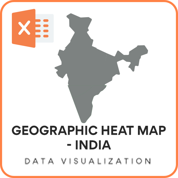
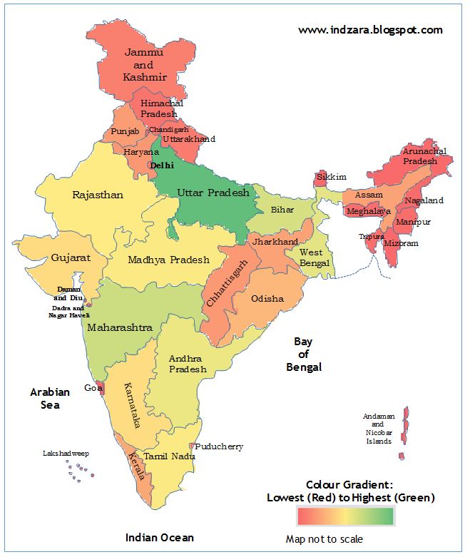
India Heat Map Excel Template
Download
If you would like to create editable map of India in excel free download the India Heat Map Excel Template (Telangana added in June 2014)
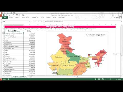
Please see below, a quick 5 minute demo of this template.
How to use this India Heat Map Excel Template?
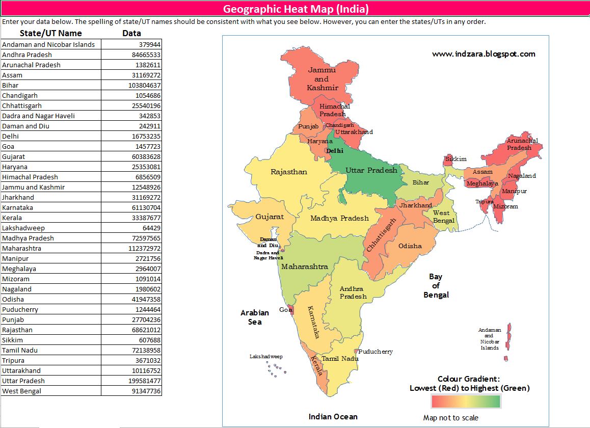
- Enter your (numeric) data in the data column and the map image on the right gets updated.
- Please make sure that the state (or union territory) names you enter in column A are spelled the same way as they are
- They are currently ordered alphabetically. However, you may choose to enter them in any order.
- You can print the sheet if needed
- You can copy the image and paste it in other applications such as Microsoft Word or PowerPoint
You can also use this template to showcase the position of one specific state.
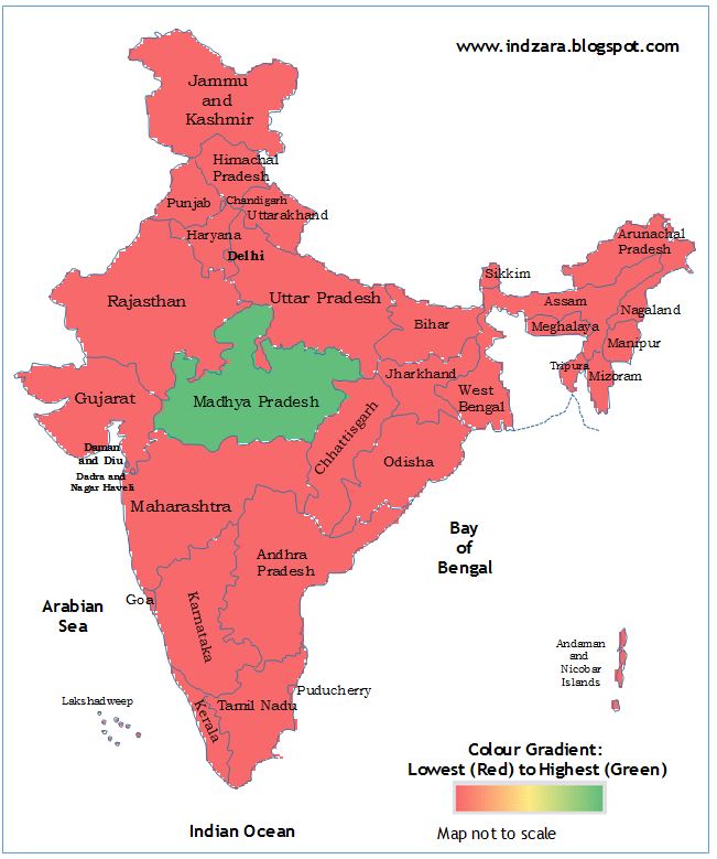
For the illustration above, I entered a positive number (1) for Madhya Pradesh and deleted the data for all other States/UTs.
How is the heat map generated?
The India Heat Map Excel Template has a hidden worksheet where the outline of India and States/Union territories were drawn with the cells pointing to corresponding data. Conditional formatting has been used to create the heat map.
If you would like to change the color gradient, read this article.
If you know of better ways to do this or if you use any application to create such an excel map chart India heat maps, please share your thoughts.